Extract from The Guardian
There is an increasing likelihood of above-average rainfall for much of Australia in the coming months, the Bom says, with another La Niña likely.

The Bureau of Meteorology’s outlook for August to October has forecast above-average rainfall from Queensland down to the south coast of New South Wales, with parts of the Northern Territory also slated to get above-average rain during that time.
Weather conditions off Australia’s west coast – a negative Indian Ocean dipole – mean there is an increasing likelihood of above-average rainfall for much of Australia in the coming months.
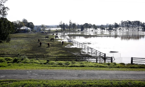
The predictions come off the back of several large flooding events along the eastern seaboard in 2022. The Bureau warned on Thursday that increased moisture in soils from previous deluges, along with dams and other catchment areas already being at capacity, made it more likely that further serious flood events would develop.
Coastal communities of NSW, along with parts of Queensland, are set for increased flood risk in the coming months.
The Bureau also warned severe storms could continue into spring, with thunderstorms from October to December in Victoria and NSW. There was also at least a 50% chance La Niña would return during the second half of 2022.
A La Niña pattern contributed to a wetter-than-average summer in 2021-22, along with devastating floods in NSW and Queensland earlier this year.
The Bureau said on Thursday it would not be able to declare another La Niña weather pattern until at least October or November.
Should the pattern be declared, it would be the third successive La Niña weather event. Since records started in 1900, a “triple dip La Niña” has occurred three times.
The Bureau has also warned the Top End region of the Northern Territory is likely to experience a greater potential for bushfires. However, tropical parts of the country are expected to have an earlier start than usual to the wet season.
An earlier wet season could also mean an earlier start to the tropical cyclone season in parts of Queensland and the Northern Territory.
additional reporting by Josh Butler
No comments:
Post a Comment