Extract from The Guardian
One of the warmest La Niña years on record continues long-term heating being driven by climate change, climatologist says.
Last modified on Mon 3 Jan 2022 16.14 AEDT
Australia’s 2021 was its coolest year since 2012, but still half a degree hotter than average according to data from the Bureau of Meteorology.
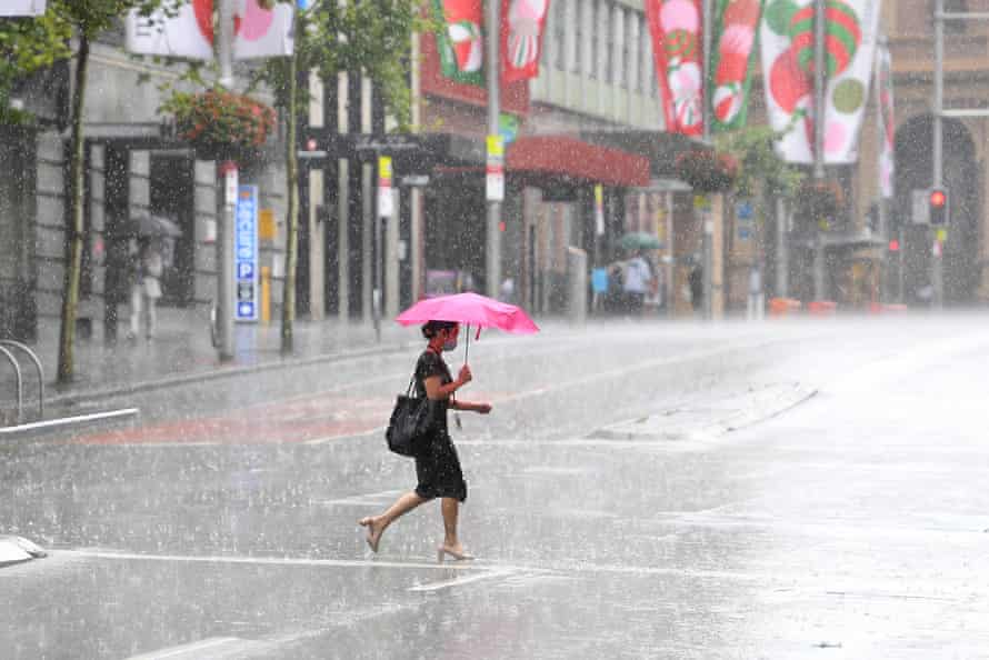
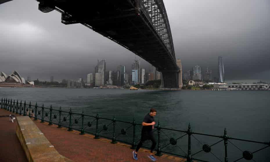
A dominant La Niña weather pattern kept temperatures lower than in recent years and total rainfall across the country was only slightly higher than average.
Across the bureau’s temperature records going back to 1910, 2021 was the 17th hottest, with the national temperature 0.56C warmer than the average between 1961 and 1990.
Australia has not had a year where the temperature was below the long-term average since 2000. The hottest year on record is 2019, which was 1.51C above average.

The data shows 2021 was the 28th wettest year nationwide since 1900 with a total of 507mm – only slightly above the annual average of 466mm.
The wettest year on record remains 1974, when the bureau’s records show 760mm fell.
Neil Plummer, a climatologist and consultant at Monash University’s climate change communication research hub, said 2021 had been a “signature La Niña” year.
“We get a lot of stronger south-easterly winds flowing in to tropical areas and we get more convection and more high clouds and more rainfall in northern and eastern Australia.
“That’s what we’ve seen since the back end of 2020. This is a signature La Niña over Australia.”
New South Wales and the ACT had the coolest year since 1996, with the overall temperature only 0.15C above average.
NSW recorded its wettest November since at least 1900, and 2021 was its sixth wettest year on record.

Queensland’s statewide temperature was 1C above average, making it the coolest year since 2012. Rainfall was also slightly above average.
Western Australia, Tasmania, the Northern Territory and South Australia were all slightly warmer than average. The only state and territory to record below average rainfall was South Australia, which dipped below its average by just 4mm.
The bureau declared the La Niña in November.
Plummer, a former head of climate services at the bureau, said 2021 was one of the warmest La Niña years on record and continued the long-term heating being driven by climate change.
“Even though this 0.56C [above average] in 2021 is less than we’ve seen for a decade, that’s still giving us an almost straight line warming trend since 1950.
“It is remarkable that we no longer see strong negative temperature anomalies. I wouldn’t say they’ve disappeared, but it’s going to be increasingly hard to get them.”
The bureau will release more information about the climate of 2021 later this week.
Last month the bureau’s climate outlook for the next three months said there was an increased chance of “unusually high minimum temperatures” for January to March over much of the country.
Rainfall was likely to be above average for eastern Australia, with northern Queensland and coastal NSW in particular having a very wet January to March.

No comments:
Post a Comment